Wyers Brook, New Brunswick
| Wyers Brook | |
|---|---|
| Unincorporated community | |
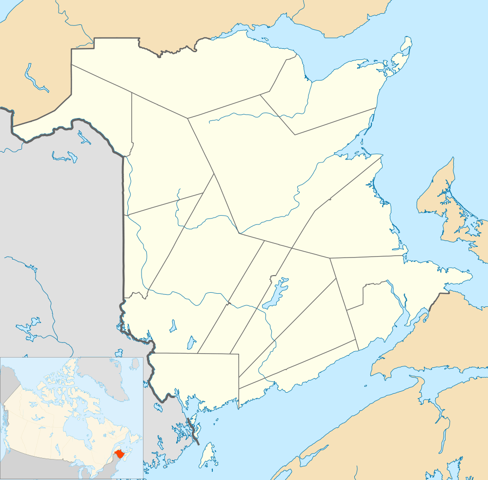 Location of Wyers Brook, New Brunswick | |
| Coordinates: 47°54′N 67°00′W / 47.9°N 67.0°WCoordinates: 47°54′N 67°00′W / 47.9°N 67.0°W | |
| Country |
|
| Province |
|
| County | Restigouche |
| Parish | Eldon |
| Electoral Districts Federal |
Madawaska—Restigouche |
| Provincial | Campbellton-Restigouche Centre |
| Government | |
| • Type | Local service district |
| Time zone | AST (UTC-4) |
| • Summer (DST) | ADT (UTC-3) |
| Postal code(s) |
|
| Area code(s) | 506 |
| Access Routes |
Wyers Road via |
Wyers Brook is an unincorporated community in Restigouche County, New Brunswick, Canada.[1]
See also
- History of New Brunswick
- List of communities in New Brunswick
- List of historic places in Restigouche County, New Brunswick
- List of people from Restigouche County, New Brunswick
References
 |
Matapédia, Quebec | | ||
| |
Camp Harmony | |||
| ||||
| | ||||
| Glenwood | Robinsonville |
This article is issued from Wikipedia - version of the 5/27/2016. The text is available under the Creative Commons Attribution/Share Alike but additional terms may apply for the media files.