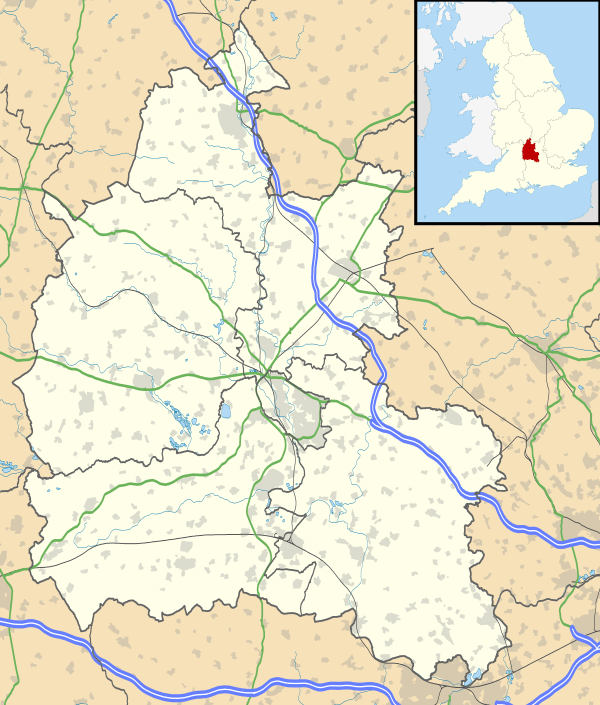
Barton, Oxfordshire
Coordinates: 51°46′08″N 1°11′24″W / 51.769°N 1.190°W
Barton is a suburb of Oxford, England on the city's eastern periphery. Barton is located just outside the Northern By-Pass Road, north of the junction with the A40 - Green Road Roundabout, Headington Roundabout, colloquially known as the Hamburger - leading to the M40 motorway and London.
The course of a Roman road between Dorchester on Thames and Alchester passes though the middle of Barton.
Barton Manor is a 17th-century listed building built of ashlar-faced Cotswold stone.
Oxford Crematorium is just north of Barton, opened in 1939 by the Oxford Crematorium Company.
The area has predominantly semi-detached, brick-built housing, though there are also significant quantities of pre-fabricated dwellings and small three or four storey flat and maisonette blocks. Much of the housing was originally constructed as social housing, and remains in Oxford City Council ownership.
The Barton Leisure Centre, which contains a swimming pool and gym, is located on Waynflete Road.
The Barton Neighbourhood Centre provides a focal point for community activities. The Barton Community Association, which was founded over 60 years ago, is the main body representing the residents of Barton.
Barton has two schools: Bayards Hill Primary School and the Ormerod School, both in Waynflete Road.
A new housing development, Barton Park, consisting of 885 homes, primary school, community hub, sports facilities and park, is being constructed to the north west of Barton, over the next decade from 2015 onwards.
External links
- Barton Swimming Pool
- Oxford History: Barton Manor
- Oxford History: Oxford Crematorium
- Facebook: Barton Past & Present
- Barton Community Association
- Barton Community Association Facebook Page
![]() Media related to Barton, Oxfordshire at Wikimedia Commons
Media related to Barton, Oxfordshire at Wikimedia Commons

