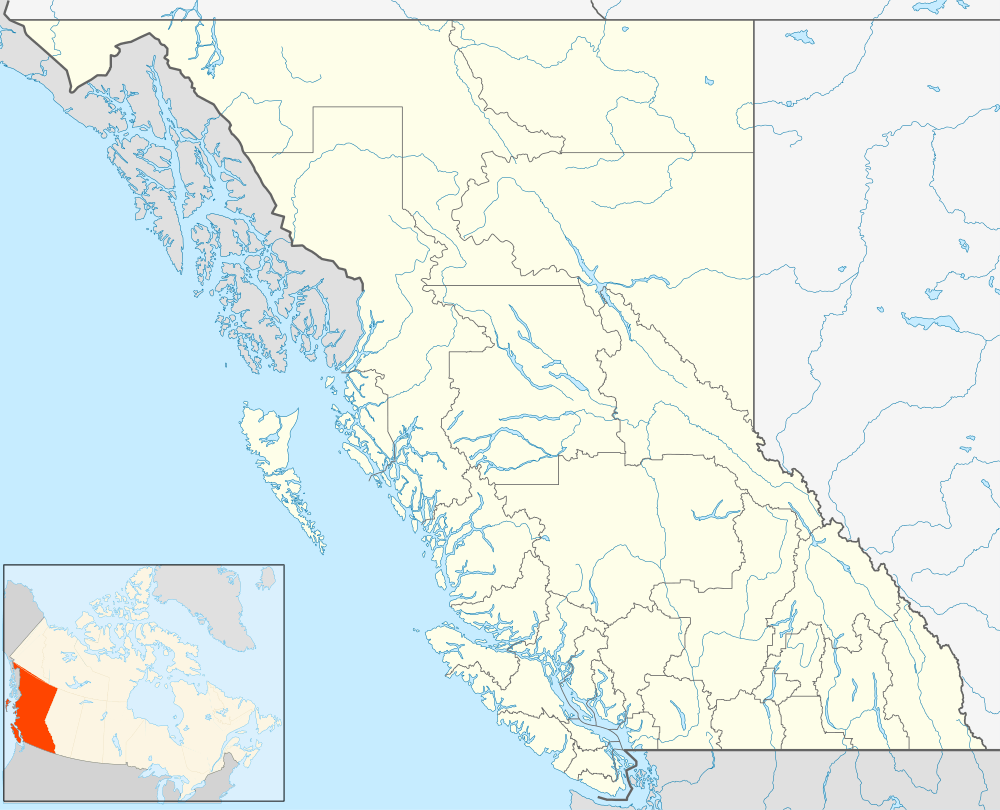
Cassidy, British Columbia
| Cassidy | |
|---|---|
 Cassidy Location of Cassidy in British Columbia | |
| Coordinates: 49°3′27″N 123°52′39″W / 49.05750°N 123.87750°WCoordinates: 49°3′27″N 123°52′39″W / 49.05750°N 123.87750°W | |
| Country |
|
| Province |
|
| Area code(s) | 250, 778 |
Cassidy, British Columbia is located south of Nanaimo on Vancouver Island and is home to the Ray Collishaw Air Terminal, Nanaimo's only airfield. It is home to farms and is generally rural. Its proximity to Nanaimo means it provides a short commute for those looking to live away from town. Its 2008 population was 1,002 people.
History
The original settlement in this area, also known as Granby, was a planned industrial town established by the Granby Consolidated Mining, Smelting and Power Company in 1918 to exploit the Douglas coal seam. The company built a model town that included 50 residential houses of various sizes with modern water, sewer and power systems on paved tree lined streets with sidewalks and boulevards. There was a single men's dormitory built of cement to accommodate workers in 76 rooms with separate entrances which had light, hot and cold water and steam heat. The town, which covered 100 acres (40 ha), had a department store and a theatre. Cassidy was connected to the E&N Railway by a 3 mi (4.8 km) spur line. Although mining was difficult in the area because of the sandy overburden, at its peak of production in 1921 and 1922 it employed 450 men. In 1928 it was producing 1000 tons in an eight-hour shift with 500 employees, 200 working at once.[1]
In 1932 the Granby mine ceased operation because of the coal seam giving out, the rising popularity of oil, the dangerous condition of the mine and the economic depression. In March 1936 what remained of the town was auctioned and most of it removed.[2]
There were seven different mines in the vicinity of Cassidy, including the Granby mine and the Bright mine, that were worked from 1917 to 1953 and produced over 2.5 million tonnes of coal.[3]
The town was named for Thomas Cassidy, who farmed in the Oyster district from the 1870s. He died in October 1912.[4]
See also
- List of coal mines and landmarks in the Nanaimo area for location of Granby Mine and Bright Mine.
References
- ↑ Paterson, TW (1975), Ghost Town Trails of Vancouver Island, Langley, BC: Stagecoach Publishing, p. 53, ISBN 0-88983-000-2
- ↑ Paterson, TW (1989), Ghost Town Towns and Mining Camps of Vancouver Island, Langley, BC: Sunfire Publications, p. 27, ISBN 0-919531-29-6
- ↑ Lindsay, AScT, Shari (2004), Coal Mine Underground Workings Atlas, Box 233, Nanaimo, BC V9R 5K9: Pacific Spatial Systems
- ↑ "Cassidy". BC Geographical Names.