Ellson, Minnesota
| Ellson, Minnesota | |
|---|---|
| Unincorporated community | |
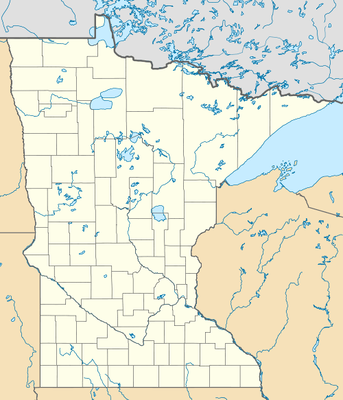
 Ellson, Minnesota  Ellson, Minnesota Location of the community of Ellson | |
| Coordinates: 46°19′03″N 93°00′41″W / 46.31750°N 93.01139°WCoordinates: 46°19′03″N 93°00′41″W / 46.31750°N 93.01139°W | |
| Country | United States |
| State | Minnesota |
| County | Pine |
| Township | Bremen Township |
| Elevation | 1,250 ft (380 m) |
| Time zone | Central (CST) (UTC-6) |
| • Summer (DST) | CDT (UTC-5) |
| ZIP code | 55735 and 55795 |
| Area code(s) | 218 |
| GNIS feature ID | 654690[1] |
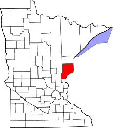
Ellson is an unincorporated community in Bremen Township, Pine County, Minnesota, United States.
History
Ellson was founded around 1895, and named for Edwin Ellson, Sr., one of the town's promoters.[2] A post office called Ellson was established in 1904, and remained in operation until 1925.[3]
Geography
Ellson is located in the northwest part of Pine County. The community is located west of Willow River, along Pine County Road 41, near Birch Creek Road, Maple Road and Chokecherry Road. Nearby places include Denham, Willow River, Sturgeon Lake, Rutledge and Pliny. Ellson is 5 miles south of Denham; and 13 miles east of Pliny. The boundary line between Pine and Aitkin counties is near Ellson.
Little Burman Creek flows through the community. Ellson is located 8 miles west of Willow River and 12 miles southwest of Sturgeon Lake.
References
- ↑ "Ellson, Minnesota". Geographic Names Information System. United States Geological Survey.
- ↑ Taft, Clare (May 4, 2006). "Bremen Township to celebrate 100 years". Askov American. p. 2. Retrieved 2 December 2015.
- ↑ "Pine County". Jim Forte Postal History. Retrieved 1 December 2015.
- Official State of Minnesota Highway Map – 2011/2012 edition
