Lärjedalen
Coordinates: 57°46′11″N 12°01′04″E / 57.76961°N 12.01787°E Lärjedalen is in the south of the former municipality Angered; it gets its name from the river Lärjeån that crosses the municipality.
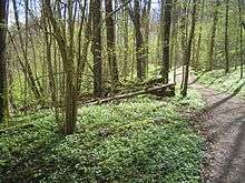
Great parts of Lärjedalen are natural reserves.
The "center" of Lärjedalen is the suburb Hjällbo.
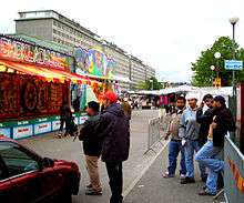
Hammarkullen in Northern Lärjedalen
This article is issued from Wikipedia - version of the 5/14/2015. The text is available under the Creative Commons Attribution/Share Alike but additional terms may apply for the media files.