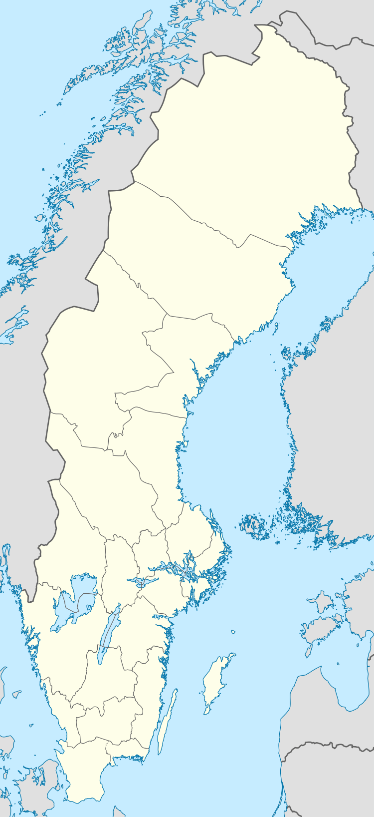
Lövstalöt
| Lövstalöt | |
|---|---|
 Lövstalöt  Lövstalöt | |
| Coordinates: 59°57′N 17°35′E / 59.950°N 17.583°ECoordinates: 59°57′N 17°35′E / 59.950°N 17.583°E | |
| Country | Sweden |
| Province | Uppland |
| County | Uppsala County |
| Municipality | Uppsala Municipality |
| Area[1] | |
| • Total | 0.71 km2 (0.27 sq mi) |
| Population (31 December 2010)[1] | |
| • Total | 1,046 |
| • Density | 1,479/km2 (3,830/sq mi) |
| Time zone | CET (UTC+1) |
| • Summer (DST) | CEST (UTC+2) |
Lövstalöt is a locality situated in Uppsala Municipality, Uppsala County, Sweden with 1,046 inhabitants in 2010.[1]
Lövstalöt is situated 12 km north of the city of Uppsala, in the flat country that surrounds the city. Until the end of the 1930s, the village consisted of a few houses and a school, built in 1892. In 1938, a woodworking factory, Bälinge Snickerifabrik, was built.[2]
Most of the houses in Lövstalöt were built during the 1960s and 1980s. Detached houses dominate, but there are also some terraced houses.
In the centre of Lövstalöt there is a gravefield from the iron age.
References
- 1 2 3 "Tätorternas landareal, folkmängd och invånare per km2 2005 och 2010" (in Swedish). Statistics Sweden. 14 December 2011. Archived from the original on 10 January 2012. Retrieved 10 January 2012.
- ↑ Wahlström, Cristina (2005). Från Siggefora till Bennebol - Nittonhundratalets Uppsala ur landsbygdsperspektiv. Uppsala Stadsarkivs skriftserie (in Swedish). 14. Uppsala: Uppsala City Archives. ISBN 91-86902-17-2.
This article is issued from Wikipedia - version of the 8/6/2016. The text is available under the Creative Commons Attribution/Share Alike but additional terms may apply for the media files.