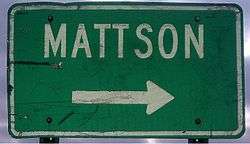
Mattson, Mississippi
| Mattson, Mississippi | |
|---|---|
| Unincorporated community | |
 | |
 Mattson  Mattson | |
| Coordinates: 34°05′52″N 90°30′36″W / 34.09778°N 90.51000°WCoordinates: 34°05′52″N 90°30′36″W / 34.09778°N 90.51000°W | |
| Country | United States |
| State | Mississippi |
| County | Coahoma |
| Elevation | 164 ft (50 m) |
| Time zone | Central (CST) (UTC-6) |
| • Summer (DST) | CDT (UTC-5) |
| Area code(s) | 662 |
| GNIS feature ID | 673246[1] |
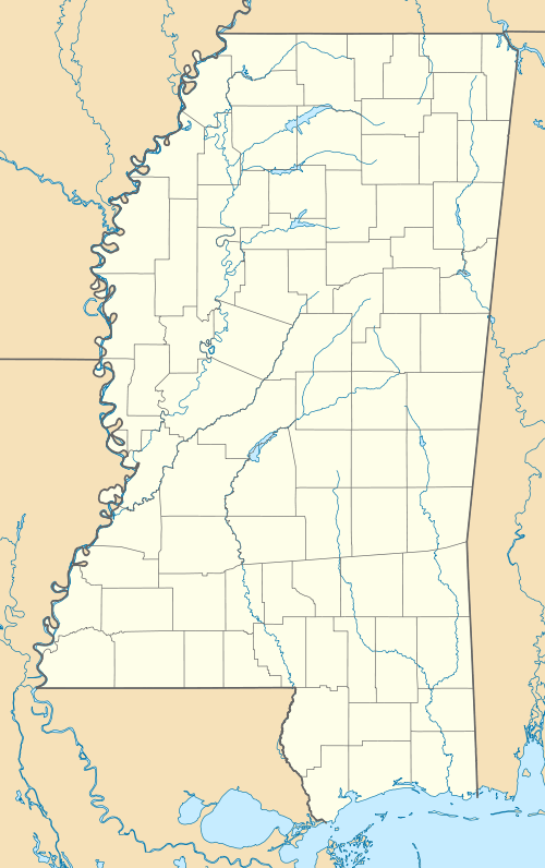
Mattson is an unincorporated community located near U.S. Route 49 in Coahoma County, Mississippi.
Mattson is 8 miles (13 km) south of Clarksdale and 2 miles (3.2 km) north of Dublin.
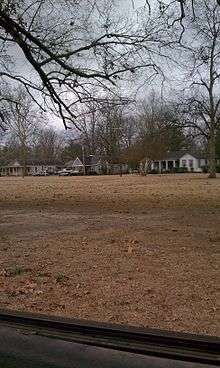
Homes in the Mattson community along Old Highway 61.
References
Municipalities and communities of Coahoma County, Mississippi, United States | ||
|---|---|---|
| City | 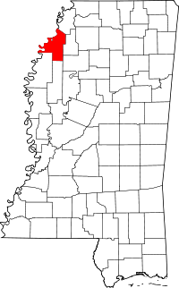 | |
| Towns | ||
| CDP | ||
| Other unincorporated communities | ||
| Ghost towns | ||
| Footnotes | ‡This populated place also has portions in an adjacent county or counties | |
This article is issued from Wikipedia - version of the 7/30/2016. The text is available under the Creative Commons Attribution/Share Alike but additional terms may apply for the media files.