Phlox, Wisconsin
| Phlox, Wisconsin | |
|---|---|
| Unincorporated community | |
|
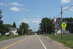
Downtown Phlox | |
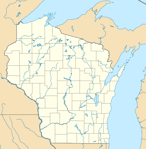
 Phlox, Wisconsin  Phlox, Wisconsin | |
| Coordinates: 45°03′04″N 89°00′51″W / 45.05111°N 89.01417°WCoordinates: 45°03′04″N 89°00′51″W / 45.05111°N 89.01417°W | |
| Country | United States |
| State | Wisconsin |
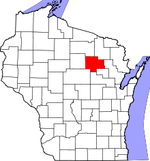
| County | Langlade |
| Elevation | 1,306 ft (398 m) |
| Time zone | Central (CST) (UTC-6) |
| • Summer (DST) | CDT (UTC-5) |
| ZIP code | 54464 |
| Area code(s) | 715 & 534 |
| GNIS feature ID | 1571305[1] |
Phlox is an unincorporated community in the Town of Norwood, Langlade County, Wisconsin, United States. It is situated on Wisconsin Highway 47 southeast of Antigo. Phlox has a post office with ZIP code 54464.[2]
Climate
The Köppen Climate Classification subtype for this climate is "Dfb" (Warm Summer Continental Climate).[3]
| Climate data for Phlox, Wisconsin | |||||||||||||
|---|---|---|---|---|---|---|---|---|---|---|---|---|---|
| Month | Jan | Feb | Mar | Apr | May | Jun | Jul | Aug | Sep | Oct | Nov | Dec | Year |
| Average high °C (°F) | −6 (21) |
−3 (27) |
3 (37) |
12 (53) |
19 (67) |
24 (75) |
26 (79) |
24 (76) |
19 (67) |
13 (55) |
3 (37) |
−4 (25) |
11 (52) |
| Average low °C (°F) | −18 (0) |
−15 (5) |
−8 (17) |
−1 (30) |
5 (41) |
10 (50) |
13 (55) |
12 (53) |
7 (45) |
1 (34) |
−6 (21) |
−13 (8) |
−1 (30) |
| Average precipitation mm (inches) | 23 (0.9) |
23 (0.9) |
43 (1.7) |
64 (2.5) |
97 (3.8) |
104 (4.1) |
104 (4.1) |
100 (4) |
71 (2.8) |
48 (1.9) |
33 (1.3) |
66 (2.6) |
790 (31.1) |
| Source: Weatherbase [4] | |||||||||||||
Images
 Downtown Phlox
 Looking west at downtown Phlox
 Looking east at the sign for Phlox
 Looking west at the sign for Phlox
References
| Wikimedia Commons has media related to Phlox, Wisconsin. |
- ↑ U.S. Geological Survey Geographic Names Information System: Phlox, Wisconsin
- ↑ ZIP Code Lookup
- ↑ Clmate Summary for Phlox, Wisconsin
- ↑ "Weatherbase.com". Weatherbase. 2013. Retrieved on July 26, 2013.
This article is issued from Wikipedia - version of the 9/19/2016. The text is available under the Creative Commons Attribution/Share Alike but additional terms may apply for the media files.

