Saint-Adrien, Quebec
| Saint-Adrien | |
|---|---|
| Municipality | |
 Location within Les Sources RCM. | |
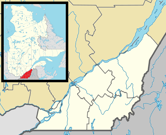 Saint-Adrien Location in southern Quebec. | |
| Coordinates: 45°49′N 71°43′W / 45.817°N 71.717°WCoordinates: 45°49′N 71°43′W / 45.817°N 71.717°W[1] | |
| Country |
|
| Province |
|
| Region | Estrie |
| RCM | Les Sources |
| Constituted | January 1, 1879 |
| Government[2] | |
| • Mayor | Pierre Therrien |
| • Federal riding | Richmond—Arthabaska |
| • Prov. riding | Richmond |
| Area[2][3] | |
| • Total | 98.80 km2 (38.15 sq mi) |
| • Land | 98.87 km2 (38.17 sq mi) |
|
There is an apparent contradiction between two authoritative sources | |
| Population (2011)[3] | |
| • Total | 490 |
| • Density | 5.0/km2 (13/sq mi) |
| • Pop 2006-2011 |
|
| Time zone | EST (UTC−5) |
| • Summer (DST) | EDT (UTC−4) |
| Postal code(s) | J0A 1C0 |
| Area code(s) | 819 |
| Highways |
|
Saint-Adrien is a municipality located in the Estrie region of Quebec, Canada.
References
 |
Saint-Rémi-de-Tingwick | Notre-Dame-de-Ham | | |
| |
Ham-Nord | |||
| ||||
| | ||||
| Wotton | Ham-Sud |
| Cities | |
|---|---|
| Municipalities | |
| Townships | |
| |
This article is issued from Wikipedia - version of the 4/28/2013. The text is available under the Creative Commons Attribution/Share Alike but additional terms may apply for the media files.