Sainte-Séraphine, Quebec
| Sainte-Séraphine | |
|---|---|
| Parish municipality | |
 Location within Arthabaska RCM. | |
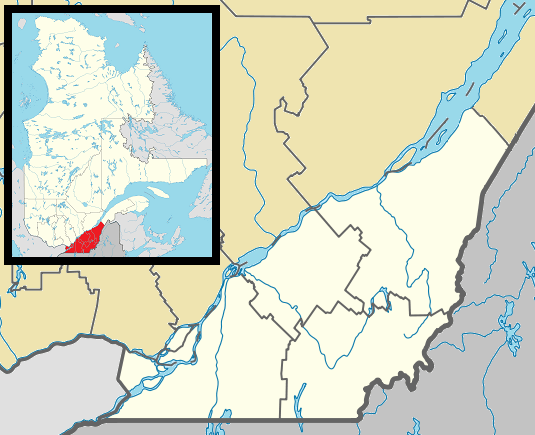 Sainte-Séraphine Location in southern Quebec. | |
| Coordinates: 45°55′N 72°11′W / 45.917°N 72.183°WCoordinates: 45°55′N 72°11′W / 45.917°N 72.183°W[1] | |
| Country |
|
| Province |
|
| Region | Centre-du-Québec |
| RCM | Arthabaska |
| Constituted | March 7, 1931 |
| Government[2] | |
| • Mayor | Monique Paquin |
| • Federal riding | Richmond—Arthabaska |
| • Prov. riding | Drummond–Bois-Francs |
| Area[2][3] | |
| • Total | 76.20 km2 (29.42 sq mi) |
| • Land | 74.97 km2 (28.95 sq mi) |
| Population (2011)[3] | |
| • Total | 378 |
| • Density | 5.0/km2 (13/sq mi) |
| • Pop 2006-2011 |
|
| Postal code(s) | J0A 1E0 |
| Area code(s) | 819 |
| Highways | No major routes |
| Website |
www sainteseraphine |
Sainte-Séraphine is a parish municipality located in the Centre-du-Québec region of Quebec, Canada.
References
 |
Sainte-Clotilde-de-Horton | Saint-Albert | | |
| |
Sainte-Élizabeth-de-Warwick | |||
| ||||
| | ||||
| Saint-Lucien | Saint-Félix-de-Kingsey | Kingsey Falls |
| Cities | |
|---|---|
| Municipalities | |
| Parishes | |
| Townships | |
| |
This article is issued from Wikipedia - version of the 4/7/2013. The text is available under the Creative Commons Attribution/Share Alike but additional terms may apply for the media files.