Wallington, Victoria
| Wallington Victoria | |||||||||||||
|---|---|---|---|---|---|---|---|---|---|---|---|---|---|
 Wallington | |||||||||||||
| Coordinates | 38°12′S 144°29′E / 38.200°S 144.483°ECoordinates: 38°12′S 144°29′E / 38.200°S 144.483°E | ||||||||||||
| Population | 1,353 (2006 census)[1] | ||||||||||||
| Postcode(s) | 3222 | ||||||||||||
| LGA(s) | City of Greater Geelong | ||||||||||||
| State electorate(s) | Bellarine | ||||||||||||
| Federal Division(s) | |||||||||||||
| |||||||||||||
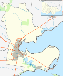
Wallington is a rural township near Geelong. At the 2006 census, the town and surrounding area had a population of 1,353.[1]
The township was settled in the early 1870s, the Post Office opening on 22 February 1872.[2]
Its surrounding suburbs are Leopold, Curlewis, Ocean Grove and Marcus Hill.
It is well known for its popular annual strawberry festival, the Wallington Strawberry Fair, a fundraising event held by Wallington Primary School. A popular water theme park, Adventure Park is located on the outskirts of the township.
References
- 1 2 Australian Bureau of Statistics (25 October 2007). "Wallington (State Suburb)". 2006 Census QuickStats. Retrieved 2007-08-15.
- ↑ Premier Postal History, Post Office List, retrieved 2008-04-11
This article is issued from Wikipedia - version of the 1/5/2015. The text is available under the Creative Commons Attribution/Share Alike but additional terms may apply for the media files.