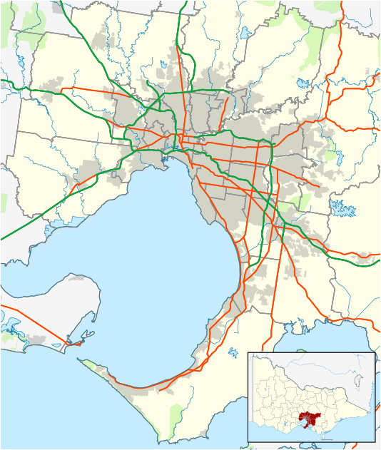
Watsonia North, Victoria
—
| Watsonia North Melbourne, Victoria | |||||||||||||
|---|---|---|---|---|---|---|---|---|---|---|---|---|---|
 Watsonia North | |||||||||||||
| Coordinates | 37°42′00″S 145°04′52″E / 37.7°S 145.081°ECoordinates: 37°42′00″S 145°04′52″E / 37.7°S 145.081°E | ||||||||||||
| Population | 3,846 (2011 census)[1] | ||||||||||||
| • Density | 2,750/km2 (7,120/sq mi) | ||||||||||||
| Postcode(s) | 3087 | ||||||||||||
| Area | 1.4 km2 (0.5 sq mi) | ||||||||||||
| Location | 20 km (12 mi) from Melbourne | ||||||||||||
| LGA(s) | City of Banyule | ||||||||||||
| State electorate(s) | Bundoora | ||||||||||||
| Federal Division(s) | Scullin | ||||||||||||
| |||||||||||||
Watsonia North is a suburb of Melbourne, Victoria, Australia, 17 km north-east of Melbourne's Central Business District. Its local government area is the City of Banyule. At the 2011 census, Watsonia North had a population of 3,846.
Watsonia North is home to Binnak Park stretching from the north to the south of the suburb, from Cameron Parade to Binnak Drive.
Watsonia North is bounded in the west generally to the west of Binnak Park, in the north by the Metropolitan Ring Road, in the east by the Greensborough Highway and in the south by Grimshaw Street.
Part of the residential area of Watsonia North was once owned by the Christian Brothers of Parade College until the early 1980s.
Notable people
- Matthew Kreuzer, the number one draft pick in the 2007 Australian Football League National draft is a resident of Watsonia North.
See also
- Shire of Diamond Valley - the former local government area of which Watsonia North was a part.
References
- ↑ Australian Bureau of Statistics (31 October 2012). "Watsonia North (State Suburb)". 2011 Census QuickStats. Retrieved 3 July 2012.
Template:Melbourne-Geo-stub
This article is issued from Wikipedia - version of the 6/19/2016. The text is available under the Creative Commons Attribution/Share Alike but additional terms may apply for the media files.