Wuzui, Nan County
| Wuzui Township | |
|---|---|
| Township | |
| Chinese transcription(s) | |
| • Simplified | 乌嘴乡 |
| • Traditional | 烏嘴鄉 |
| • Pinyin | Wuzui Xiang |
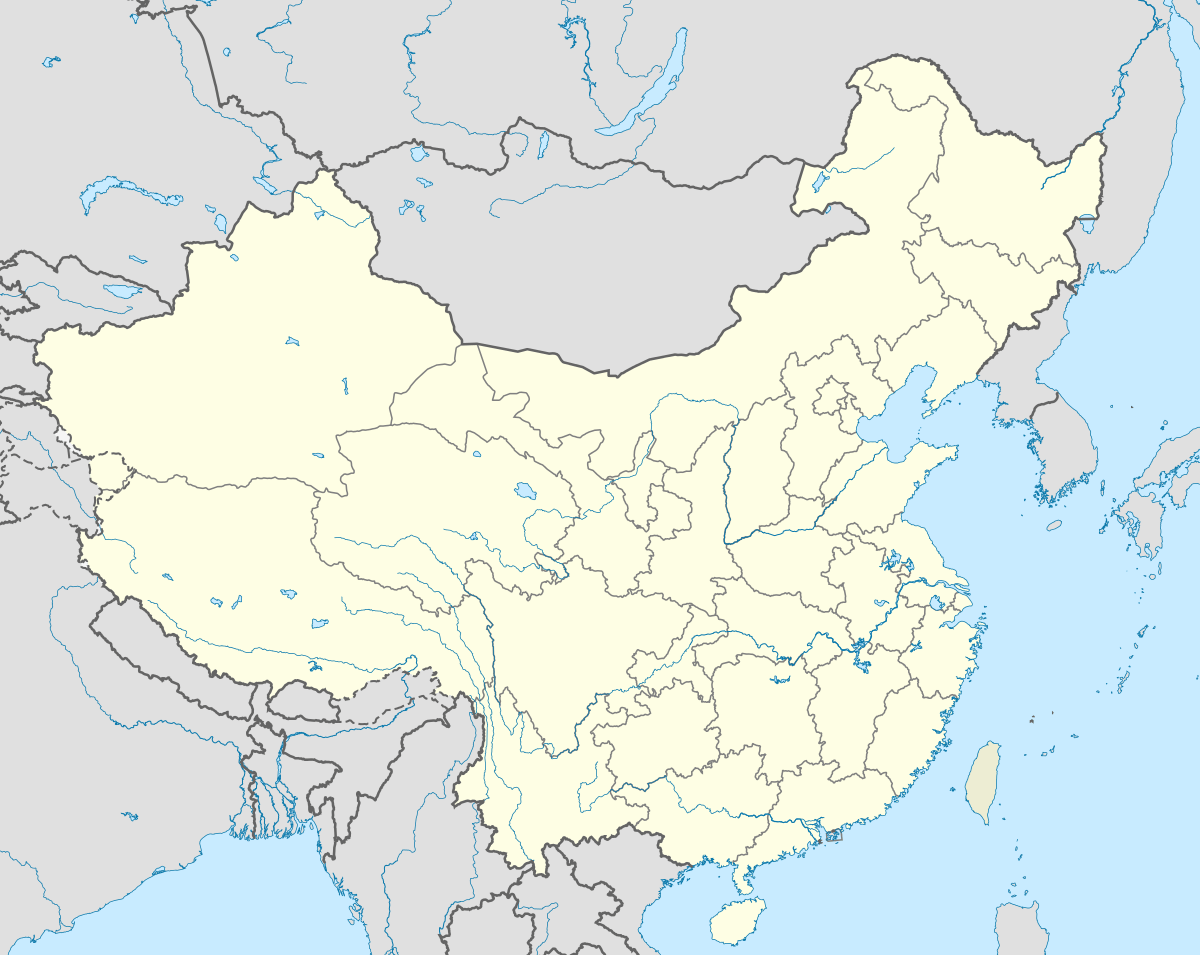
 Wuzui Township Location in China | |
| Coordinates: 29°18′18″N 112°28′24″E / 29.30500°N 112.47333°ECoordinates: 29°18′18″N 112°28′24″E / 29.30500°N 112.47333°E | |
| Country | People's Republic of China |
| Province | Hunan |
| City | Yiyang |
| County | Nan County |
| Area | |
| • Total | 69.56 km2 (26.86 sq mi) |
| Population | 39,600 |
| Time zone | China Standard (UTC+8) |
| Area code(s) | 0737 |
Wuzui Township (simplified Chinese: 乌嘴乡; traditional Chinese: 烏嘴鄉; pinyin: Wuzui Xiang) is an rural township in Nan County, Yiyang, Hunan Province, People's Republic of China.[1]
Administrative division
The township is divided into 20 villages and 1 community, the following areas: Zhaoming Community, Xinzhou Village, Xinli Village, Xinmin Village, Dongcheng Village, Chaoxi Village, Dayuan Village, Gangkou Village, Chaoqian Village, Qunfeng Village, Jiaozui Village, Dongge Village, Baimo Village, Niuchang Village, Luowen Village, Donghe Village, Sainan Village, Dongnan Village, Wenjia Village, Changchun Village, and Anle Village (昭明社区、新洲村、新立村、新民村、东成村、朝锡村、大垸村、港口村、朝前村、群峰村、窑嘴村、东阁村、白沫村、牛场村、罗文村、东河村、赛南村、东南村、文家村、长春村、安乐村).
References
External links
This article is issued from Wikipedia - version of the 12/5/2014. The text is available under the Creative Commons Attribution/Share Alike but additional terms may apply for the media files.