Piopolis, Quebec
| Piopolis | |
|---|---|
| Municipality | |
 | |
 Location within Le Granit RCM | |
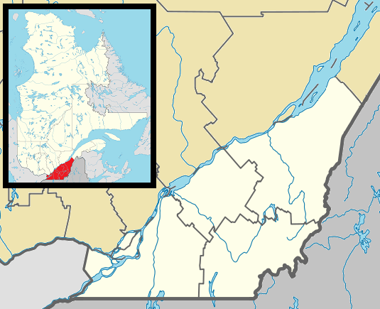 Piopolis Location in southern Quebec | |
| Coordinates: 45°29′N 70°54′W / 45.483°N 70.900°WCoordinates: 45°29′N 70°54′W / 45.483°N 70.900°W[1] | |
| Country |
|
| Province |
|
| Region | Estrie |
| RCM | Le Granit |
| Constituted | January 1, 1880 |
| Government[2] | |
| • Mayor | André St-Marseille |
| • Federal riding | Mégantic—L'Érable |
| • Prov. riding | Mégantic |
| Area[2][3] | |
| • Total | 111.70 km2 (43.13 sq mi) |
| • Land | 103.77 km2 (40.07 sq mi) |
| Population (2011)[3] | |
| • Total | 364 |
| • Density | 3.5/km2 (9/sq mi) |
| • Pop 2006-2011 |
|
| • Dwellings | 275 |
| Time zone | EST (UTC−5) |
| • Summer (DST) | EDT (UTC−4) |
| Postal code(s) | G0Y 1H0 |
| Area code(s) | 819 |
| Highways |
|
| Website |
www |
Piopolis is a municipality of about 350 people in Le Granit Regional County Municipality in the Estrie region in Quebec, Canada.
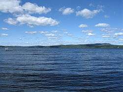
Megantic Lake in Piopolis
References
| Wikimedia Commons has media related to Piopolis, Quebec. |
 |
Marston | | ||
| Val-Racine | |
Frontenac | ||
| ||||
| | ||||
| Notre-Dame-des-Bois | Saint-Augustin-de-Woburn |
| Cities | |
|---|---|
| Municipalities | |
| Parishes | |
| Townships | |
| |
This article is issued from Wikipedia - version of the 11/1/2016. The text is available under the Creative Commons Attribution/Share Alike but additional terms may apply for the media files.