Sveta Marija
| Sveta Marija | |
|---|---|
| Municipality | |
|
Location within Međimurje County | |
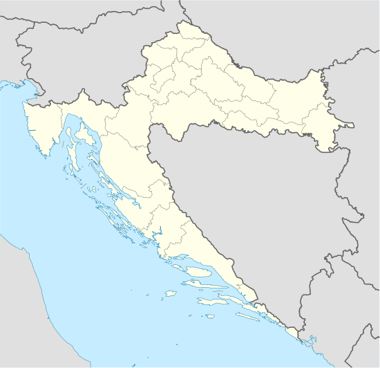
 Sveta Marija Location of Sveta Marija in Croatia | |
| Coordinates: HR 46°20′N 16°44′E / 46.333°N 16.733°ECoordinates: HR 46°20′N 16°44′E / 46.333°N 16.733°E | |
| Country |
|
| County | Međimurje |
| Government | |
| • Municipal mayor | Đurđica Slamek |
| Area | |
| • Total | 23.40 km2 (9.03 sq mi) |
| Population (2011)[1] | |
| • Total | 2,317 |
| • Density | 99/km2 (260/sq mi) |
| (municipality total) | |
| Time zone | CET (UTC+1) |
| • Summer (DST) | CEST (UTC+2) |
| Postal code | 40326 Sveta Marija |
| Website | http://www.svetamarija.hr/ |
Sveta Marija is a village and a municipality in Međimurje County, Croatia.[2] It is located in the south-eastern part of the county, near the Drava River, approximately 27 kilometres south-east of Čakovec and 11 kilometres east of Prelog, the largest and second-largest city of Međimurje County respectively.
The municipality consists of two villages – Sveta Marija and Donji Mihaljevec.[2] It was established in 1997, prior to which the two villages belonged to the municipality of Kotoriba. In the 2011 census, the municipality had a population of 2,317, with 1,594 people living in Sveta Marija and the remaining 723 in Donji Mihaljevec at the time.[1] The majority of the population identified themselves as Croats during the census.
References
- 1 2 "Population by Age and Sex, by Settlements, 2011 Census: Sveta Marija". Census of Population, Households and Dwellings 2011. Zagreb: Croatian Bureau of Statistics. December 2012.
- 1 2 Croatian Parliament (September 25, 2015). "Zakon o područjima županija, gradova i općina u Republici Hrvatskoj". Narodne novine (in Croatian) (110/2015).
.svg.png)