Sveti Juraj na Bregu
| Sveti Juraj na Bregu | |
|---|---|
| Municipality | |
|
Municipality centre | |
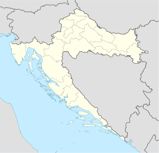
 Sveti Juraj na Bregu Location of Sveti Juraj na Bregu in Croatia | |
| Coordinates: 46°25′59″N 16°22′59″E / 46.43306°N 16.38306°E | |
| Country |
|
| County | Međimurje |
| Government | |
| • Municipal mayor | Anđelko Nagrajsalović |
| Area | |
| • Total | 30.17 km2 (11.65 sq mi) |
| Population (2011)[1] | |
| • Total | 5,090 |
| • Density | 170/km2 (440/sq mi) |
| Time zone | CET (UTC+1) |
| • Summer (DST) | CEST (UTC+2) |
| Postal code | 40311 Lopatinec |
| Area code(s) | 040 |
| Website | www.svetijurajnabregu.hr |
Sveti Juraj na Bregu (Hungarian: Víziszentgyörgy) is a municipality in Međimurje County, Croatia.
The municipality consists of 9 villages: Brezje, Dragoslavec, Frkanovec, Lopatinec, Mali Mihaljevec, Okrugli Vrh, Pleškovec, Vučetinec and Zasadbreg. The municipality covers an area of 30,17 km², while its population in the 2001 census was 5,090.[1] The majority of the population are Croats.
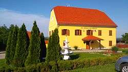
The official seat of the municipality is Lopatinec, although the municipal administration is located in Pleškovec, with the village also including the municipality's elementary school and the main church of the local parish. In the 19th century, the present villages of Dragoslavec, Frkanovec, Lopatinec, Okrugli Vrh, Pleškovec and Vučetinec were considered a single village under the present name of the municipality - Sveti Juraj na Bregu.
The municipality was named after Saint George, who is also depicted on its coat of arms. Its name means Saint George on the Hill in the local dialect.
The main road going through the municipality connects Čakovec, the county seat of Međimurje County, with Štrigova and the Croatian-Slovenian border checkpoint in Razkrižje.
The main church of the local parish sits atop of a hill and is one of the most prominent churches in the region, as it is also visible from the D3 state road while driving from Varaždin in the direction of Čakovec. In 2008, it was heavily damaged when its bell tower collapsed during renovations, but has since been rebuilt.
Gallery
- Ivan Goran Kovačić Street
 Brezje
- Vučetinec
_-_jug.jpg) Church of Saint George
Church of Saint George Pleškovec
- Elementary school
References
- 1 2 "Population by Age and Sex, by Settlements, 2011 Census: Sveti Juraj na Bregu". Census of Population, Households and Dwellings 2011. Zagreb: Croatian Bureau of Statistics. December 2012.
External links
- The official website of the municipality (Croatian)
Coordinates: 46°25′59.88″N 16°22′59.88″E / 46.4333000°N 16.3833000°E

.svg.png)